By Steve Mark, Crater Lake National Park Historian
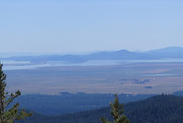
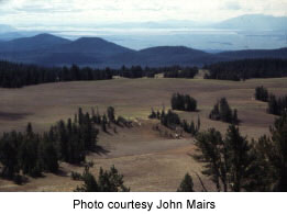
Perhaps more characteristic of the Land of Lakes (as Shaw used the term, this served as a way to unite southeastern Oregon, northwestern Nevada, and northeastern California) is that it falls completely within North America’s Basin and Range physiographic province. "Basin and Range" refers to a series of mountain ranges separated by rift valleys stretching from west to east across most of Klamath and Lake counties, parts of Harney and Malheur counties, then virtually all of Nevada, western Utah, southern Arizona, a piece of New Mexico, as well as the area east and south of California’s Sierra Nevada. The mountain ranges in this province ("horst") are generally oriented north – south, and are fault blocks since the earth’s crust here is thin and stretched as enormous blocks were uplifted and then tilted. Between the ranges are broad basins ("graben") that during the last five million years increased precipitation filled the basins with lakes. Drier conditions have since diminished the size of these lakes, but they can readily be seen when traveling east from Klamath Falls, or even south toward Las Vegas.
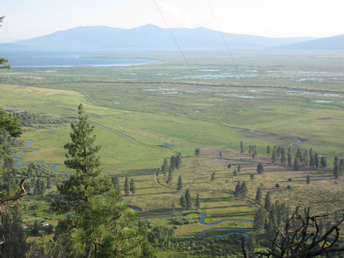
A great, or maybe just typical, example of Basin and Range topography can be experienced when traveling from Klamath Falls to Crater Lake National Park. As motorists using U.S. Highway 97 come to Barkley Spring and Hagelstein Park less than 20 miles from town, the faults of the Modoc Rim are undressed in a few places as slickensides on the tilted block. Several springs gush from points where horst and graben meet along the lake by the time Modoc Point is reached. Springs give rise to creeks that form tributaries of the Wood River once Klamath Agency on Highway 62 comes into view. Beyond this point the highway will traverse the Klamath Graben, which is also the former bed of a prehistoric lake that once covered all of the so-called Wood River "Valley." Views of what nineteenth century occupants called a “plain” can be had from various places along the highway until the national park boundary is reached some six miles north of Fort Klamath.
A more sweeping prospect of the upper end of what was once ancient Lake Modoc is located off pavement. About one mile east of Klamath Agency on Forest Service road 6210 is another road numbered 040 that heads north two miles to a point some 900 feet above the graben below. Conventional passenger vehicles may experience difficulty negotiating the ruts, so a pickup is recommended for this short diversion. Those who venture to the top of Agency Hill will be rewarded by spectacular vistas to the south and west, ones interrupted only by trees depending on where you look. Just below is the meandering and aptly named Crooked Creek that starts from where state fish hatchery is located north of the highway. It crosses the road near Council Grove, where treaty negotiations with the Klamath and other Indian groups culminated in 1864 with a treaty, though the actual site is on private property.
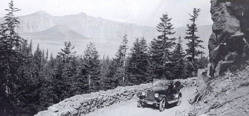
The dramatic contrast of horst to graben can also be seen by traveling north on the older route of Highway 97 on a gravel road toward Sun Pass. After going past Kimball State Park on the Head of Wood River, and then uphill, one can pause where the young trees permit a view looking back to the south. Visitors to Crater Lake National Park can also see this part of the Basin and Range by taking east Rim Drive. The view is especially dramatic along Dutton Ridge between Kerr Notch and Sun Notch, and is accessible between July and October each year.
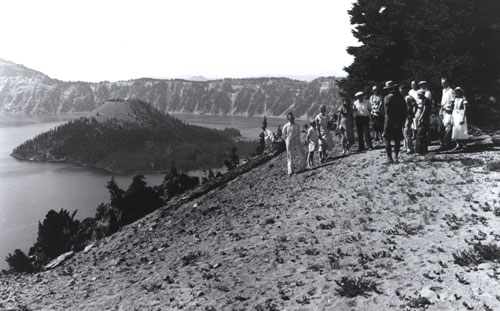
Photos courtesy of the author except where noted.

