
Learn to measure, map, model, and analyze the world through majors, minors, certificates, and the next generation of unmanned systems.
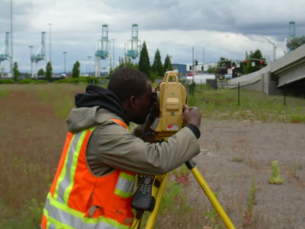

MajorB.S. Geomatics — Surveying Foundation courses in GIS and plane surveying build into advanced GNSS, geodesy, cadastral systems, field practice, and capstone-level professional work. |
MajorB.S. Geographic Information Systems (GIS) Option Build expertise in spatial analysis, programming, remote sensing, databases, web mapping, and applied GIS through hands-on projects using real-world geospatial data. |
MinorMinor in Surveying Add practical skills in land measurement, field surveying, GNSS, and mapping to complement a degree in engineering, construction, environmental science, GIS, or another applied field. |
MinorMinor in Geographic Information Systems (GIS) Develop practical skills in cartography, spatial analysis, remote sensing, databases, and web and mobile mapping to complement your primary field of study. |
CertificateOnline GIS Certificate 18 credits | Complete in as little as 9 months Build career-ready GIS skills through a flexible online program designed for working professionals. Learn ArcGIS Pro, ArcGIS Online, spatial data management, spatial analysis, and professional map design, then apply your knowledge in a real-world capstone project. |
Major (Begins Fall 2027)B.S. Geomatics - Unmanned Systems (US) Option Design, build, operate, and analyze unmanned systems through hands-on experience with UAS hardware, flight planning and operations, sensors, remote sensing, geospatial data analysis, AI-enabled applications, and capstone projects. |
Program Information
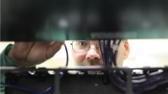
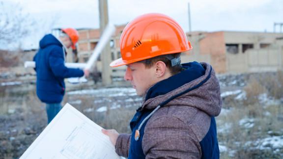
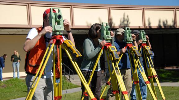
Oregon Tech’s Surveying option prepares students for professional practice through measurement science, boundary law, geodesy, field methods, and hands-on experience supporting the path toward professional licensure.
Measure | Model | Apply | Lead |
|---|---|---|---|
Collect precise field data using total stations, GNSS, levels, scanners, and modern mapping technologies. | Transform field observations into maps, surfaces, plats, construction layouts, and professional deliverables. | Apply surveying and geospatial knowledge to land development, transportation, infrastructure, utilities, natural resources, and construction projects. | Prepare for professional licensure, ethical practice, and responsible decision-making in surveying and geomatics |
Program Highlights |
|---|
|
Oregon Tech’s GIS option prepares students to transform spatial data into maps, models, applications, and actionable information for communities, organizations, infrastructure, and the environment.
Analyze | Visualize | Automate | Apply |
|---|---|---|---|
Use spatial analysis and modeling techniques to solve complex location-based problems. | Create maps, dashboards, imagery products, and geospatial stories that clearly communicate complex information. | Use Python, geodatabases, web GIS, mobile technologies, and repeatable workflows to manage and process spatial data. | Support decision-making in planning, natural resources, emergency management, business, transportation, infrastructure, and public safety. |
Program Highlights |
|---|
The option should be positioned around location intelligence, data communication, and applied decision support.
|
Begins Fall 2027
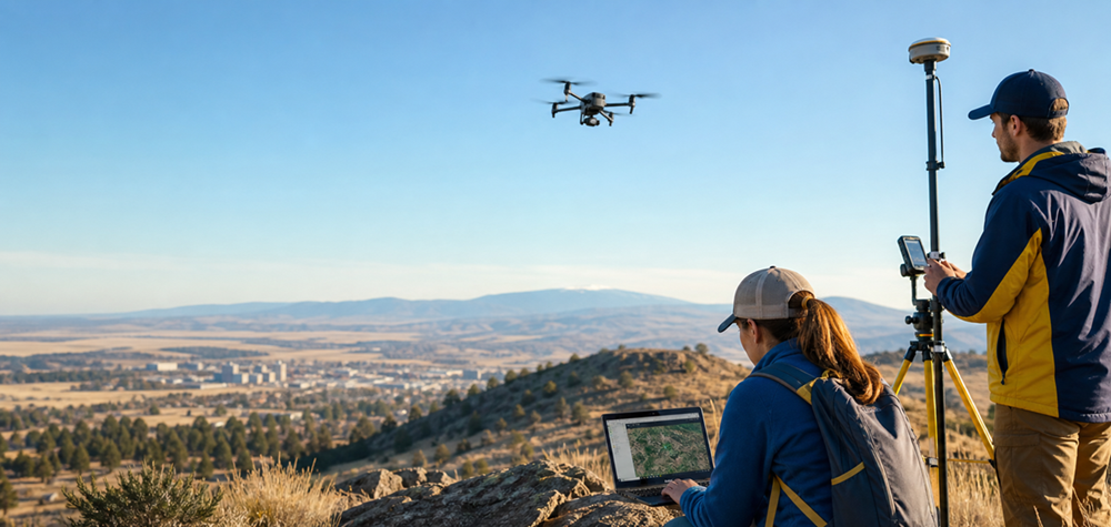
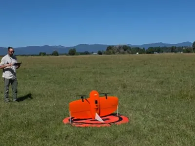
Oregon Tech’s Unmanned Systems option goes beyond learning how to operate drones. Students follow a complete Design–Build–Fly–Analyze process, developing unmanned aircraft and transforming sensor data into decision-ready geospatial products.
Design | Build | Fly | Analyze |
|---|---|---|---|
Design unmanned aircraft using engineering graphics, CAD, and system-design principles. Develop airframes, structural components, propulsion configurations, electronics architecture, payload mounts, and other mission-specific features. | Fabricate and assemble unmanned aircraft while integrating motors, flight controllers, embedded computers, communication systems, sensors, and payloads. Test and refine system performance through simulation and hands-on laboratory work. | Plan, simulate, and conduct safe missions using FAA-aligned operating practices, airspace awareness, flight planning, operational checklists, and hands-on flight laboratories. | Transform aerial imagery and sensor data into maps, three-dimensional models, AI-assisted analysis, and decision-ready reports. |
Program Highlights |
|---|
|
Courses
Students have one-of-a-kind opportunities for projects in their courses. Geomatics students have been asked to find and define property lines in town, survey new territory like rivers and canals and create needed maps for purposes like emergencies and events.
Geomatics majors typically take courses in:
- Field Surveying
- Computer Programming
- Geographic Information Systems
- Global Positioning Systems
- Satellite and terrestrial remote sensing
The program also offers coursework in the more traditional areas of surveying, including boundary law, construction surveying, and computer-aided drafting.
Jobs and Careers in Geomatics
Today, geomatics professionals use an integrated approach to measuring, analyzing and managing spatial data, employing high-tech equipment like Geographic Information Systems, Global Positioning Systems (GPS), digital photogrammetry, digital total stations, satellite and terrestrial remote sensing to create a detailed but understandable picture of the Earth's natural and constructed features.
Oregon Tech’s curriculum prepares students for employment and licensure. Oregon Tech Geomatics students can apply for the Civil Engineering Cooperative Program (CECOP) for two 6-month internships during their junior year.
What students learn to do
Collect Precise Geospatial Data
Use surveying instruments, GNSS, mobile mapping systems, drones, and remote sensors to collect accurate and reliable geospatial data. | Process and Analyze Data
Apply GIS, Python, spatial analysis, remote sensing, databases, and AI-assisted tools to identify patterns and support informed decisions.
| Communicate Results Professionally
Create maps, models, mission reports, technical documentation, and decision-support products for clients, communities, and partner organizations.
|
Work Safely and Ethically
Follow professional standards, field-safety procedures, responsible data practices, and, when applicable, FAA regulations and airspace requirements.
| Design and Build Geospatial Systems
Design unmanned aircraft and integrate airframes, electronics, sensors, payloads, embedded systems, software, and geospatial workflows to meet specific mission needs.
| Lead Applied Projects
Guide projects from problem definition and system design through mission planning, data collection, analysis, presentation, and implementation
|
Learn in the field, the lab, and the regional innovation network.
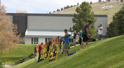
Oregon Tech's advantage is the combination of a polytechnic learning model, established surveying and GIS strengths, FAA Part 107 expertise, drone fleet and labs, and industry-connected opportunities in Southern Oregon.
- Geospatial Research and Training Center
Applied research, student projects, workforce development, and community-facing geospatial support.
- Oregon Manufacturing Innovation Center
Potential access to prototyping, fabrication, materials testing, and advanced manufacturing collaboration.
- Oregon UAS Accelerator
Industry mentoring, startup connections, commercialization pathways, and internship possibilities.
- 173rd Fighter Wing, Kingsley Field
Regional airspace integration opportunities and collaboration around deconfliction and joint operation training.

Accredited by the Applied and Natural Science Accreditation Commission of ABET, https://www.abet.org, under the commission’s General Criteria and Program Criteria for Geomatics - Surveying Option, BS.
The departmental faculty advise students. View the list of academic advisors.
If a student is unsure who their assigned academic advisor is, please contact the department chairperson or the Academic Advising office below.
Jobs and Careers in Geomatics
Jobs and Careers in GeomaticsGeomatics graduates are not locked into one job title. They can work across land development, infrastructure, environmental monitoring, public safety, transportation, utilities, natural resources, defense, and emerging autonomous systems.
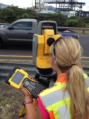
Examples of Professional Roles
Professional land surveyor
GIS analyst or geospatial data specialist
Remote sensing technician
Geospatial systems engineer
Infrastructure or environmental mapping specialist
UAS mission planner or drone data analyst
Costs
As a state-supported university, Oregon Tech offers programs and classes at affordable rates.
There is no out-of-state surcharge for non-Oregon residents completing courses through the Online campus
Financial Aid & Scholarships
Scholarships are available for students from all walks of life—first-time college students, career changers, and everyone in between. Take the first step toward an affordable, high-quality education and let us help you build the skills you need for a brighter tomorrow.


Assistant Professor, Program Director
Geomatics
OW116
Dr. Su Jin Lee is an Assistant Professor of Applied Computing & Geomatics at the Oregon Institute of Technology (Oregon Tech), where he serves as GIS and Surveying Program Director and Founding Director of the Geospatial Research and Training Center. He also leads the development of the Uncrewed Systems (UAS) option within the Geomatics programs, advancing interdisciplinary education that integrates geospatial science, drone technology, and data analytics.
Dr. Lee earned his Ph.D. in Geography from the University of Southern California (USC) in 2012, with a focus on geospatial science. He also holds both a Master’s and a Bachelor’s degree in Earth and Marine Sciences from Hanyang University in South Korea.
He brings extensive teaching experience across multiple institutions. Dr. Lee served as a full-time lecturer at USC for nine years and has held instructional appointments at Ventura College, Moorpark College, the University of Minnesota Duluth, and California State University Long Beach. His teaching portfolio includes Geographic Information Systems (GIS), digital cartography, remote sensing, geospatial technology, environmental studies, and uncrewed aerial systems (UAS)/drone-based geospatial data acquisition, offered at both undergraduate and graduate levels.
Dr. Lee’s research focuses on the interactions between human and environmental systems, with particular emphasis on applying geospatial technologies to address real-world challenges. His work spans climate change, drought, wildfire, land use and land cover change, urban development, and environmental justice. More recently, his research has expanded to include UAV-based remote sensing, high-resolution spatial data acquisition, and geospatial analytics for agriculture and natural resource management, particularly in the Klamath Basin.
He is a certified FAA UAS Remote Pilot and a Geographic Information Systems Professional (GISP), and actively works to integrate emerging technologies, including drone systems and spatial data science, into both research and workforce development.
Geomatics Resources
Additional Resources
Related Programs